|
Home - The Village Today - History - Maps - Memories - Newspapers - Picture Gallery - World Wars |
|
Home - The Village Today - History - Maps - Memories - Newspapers - Picture Gallery - World Wars |
|
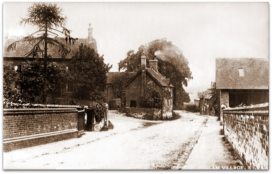
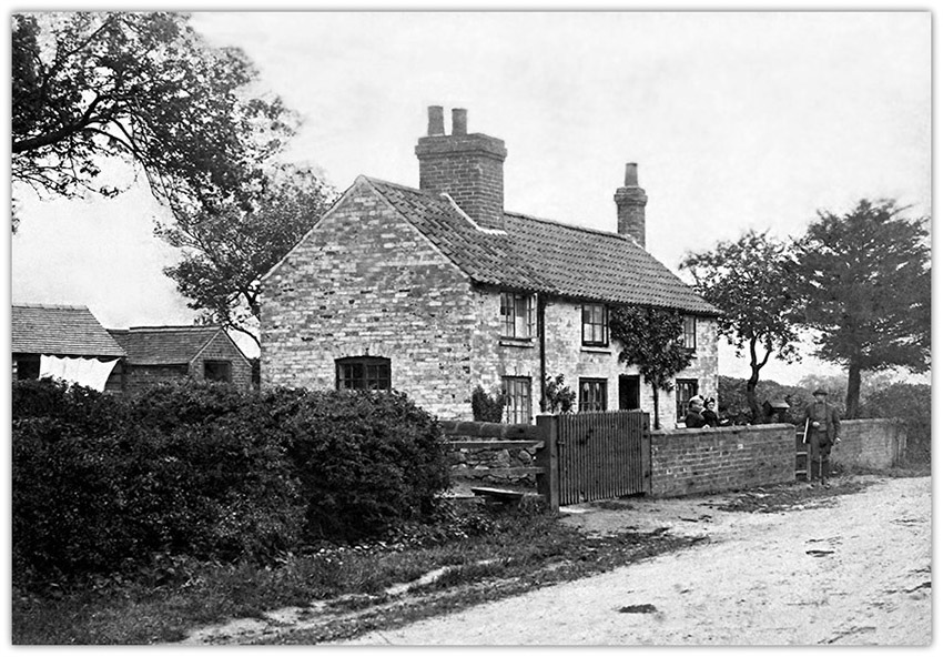
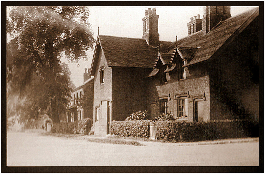
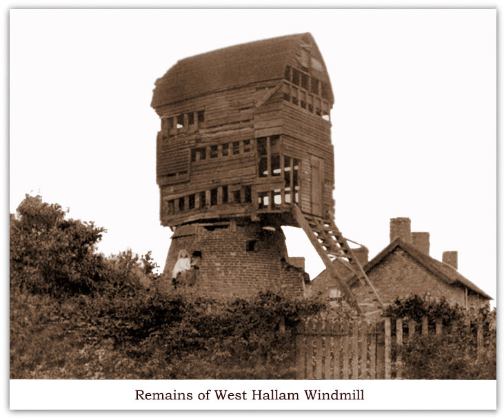
West Hallam Assorted Photographs
Photo sent in by Sarah Cook, Granddaughter of George Hartshorn
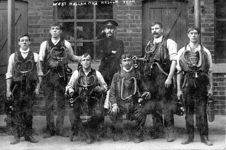
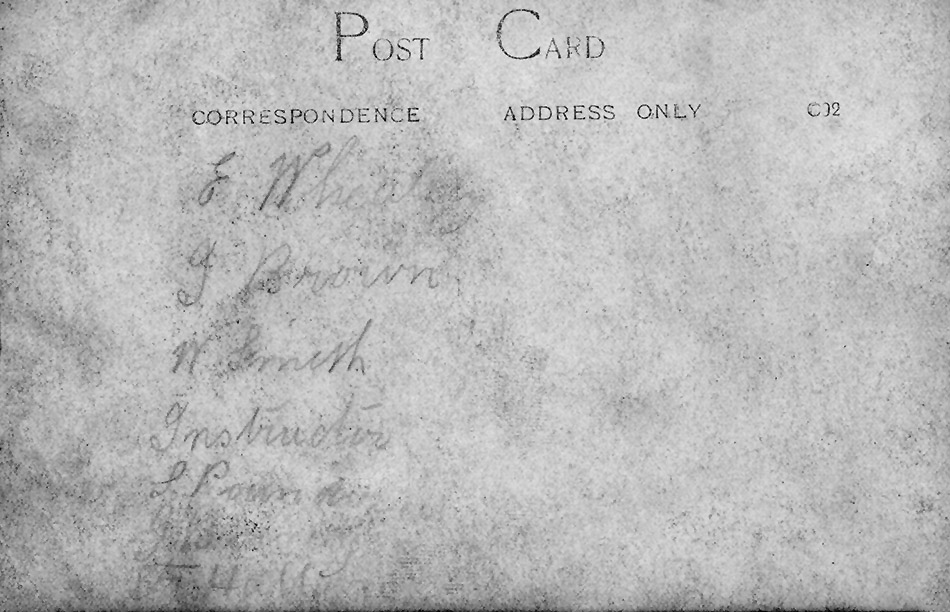
West Hallam Mines Rescue Team No.2. C1920 Sent in by Anthony Hall
Click for Names - Double Click to Return to Photo Without the Breathing Apparatus With Breathing Apparatus Sent in by Anthony Hall, grandson of Frank John Hall, far right. Others, left to right are E Wheatley, J Brown, W Smith, Instructor Superintendent Hutchinson, ? Pounder, J Bxxxxxy , F J Hall (Grandad)
West Hallam Miners Rescue Team No.2. C1920. If anyone viewing this can supply any further information, we would love to hear from you.
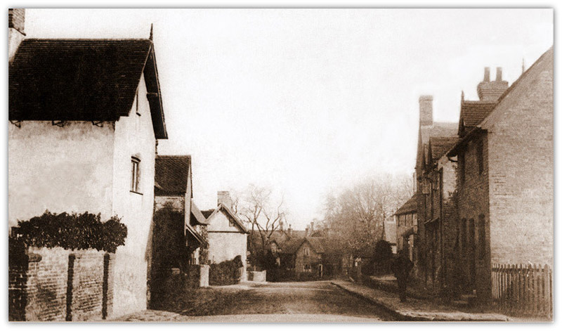
You see this if you drive from Mapperley to the crossroads with High Lane West and High Lane Central. It is the corner of St Wilfred's Road and High Lane West. The nearest house was the home of the Hart sometimes called Hartshorne family. The daughter Doris had the house pulled down and a bungalow built in its place when her parents died some years ago. The second house next to it was where the milkman Maurice Stevens lived and it is still there. (The photograph was owned by Frank Hartshorne who recently passed away. His daughter Carole Hartshorne very kindly donated it to us. The information about this photograph was supplied by Brenda Parker, who remains a great source of information) April 2017. Mapperley Crossroads as we know it today was constructed in 1838. On completion it was known as Four Lane Ends. The main road, called the High Lane, was a continuous road from the Nutbrook Boundary (West Hallam/Ilkeston), Straws Bridge, leading to the West Hallam Common Lane. (Mill Garage Crossroads). It is now split into East, Central and West The lane leading to Mapperley village was named Mapperley Sick Lane. On the opposite side, the lane leading to West Hallam village was named Hurtons Lane. Now named St. Wilfrids Road. Roger Wood 2018
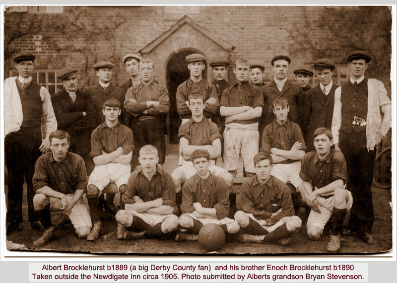
Albert Brocklehurst b1889 and brother Enoch Brocklehurst b1890. Outside Newdigate Inn c1905
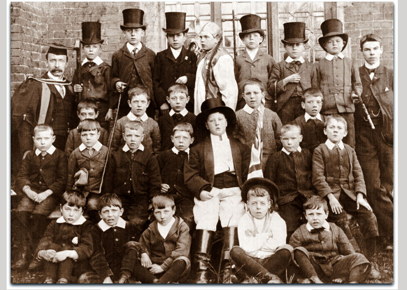
West Hallam Scargill Boys School concert 1900. Thanks to a Roger Wood for this photograph
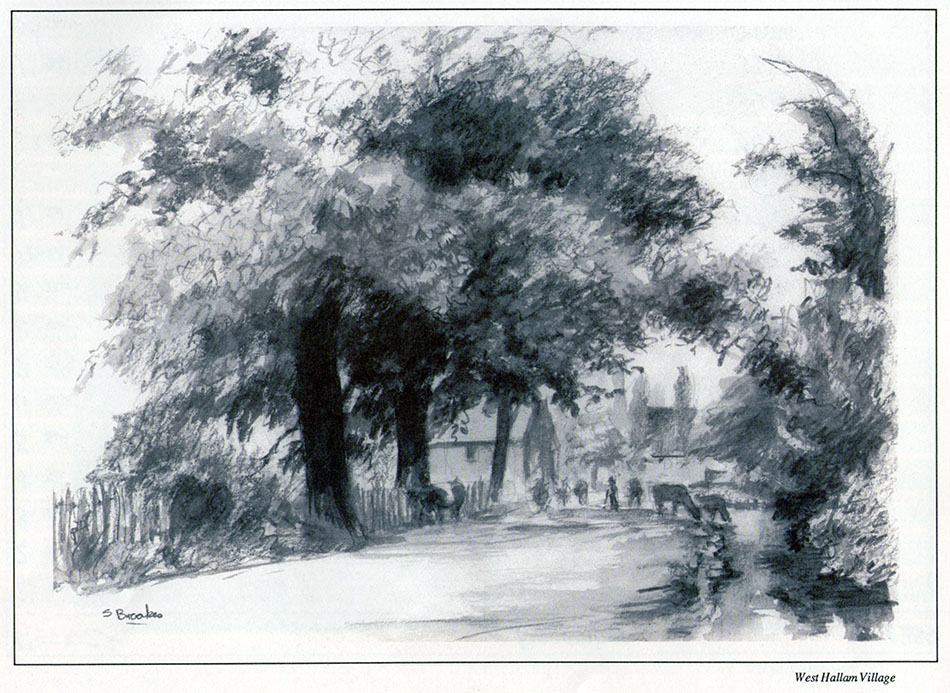
Sketch of West Hallam by Mapperley artist Stella Brookes for 1989 calendar Disclaimer - Copyright - Is this page correct? Something wrong or missing? Please let me know. Also contributions very welcome |